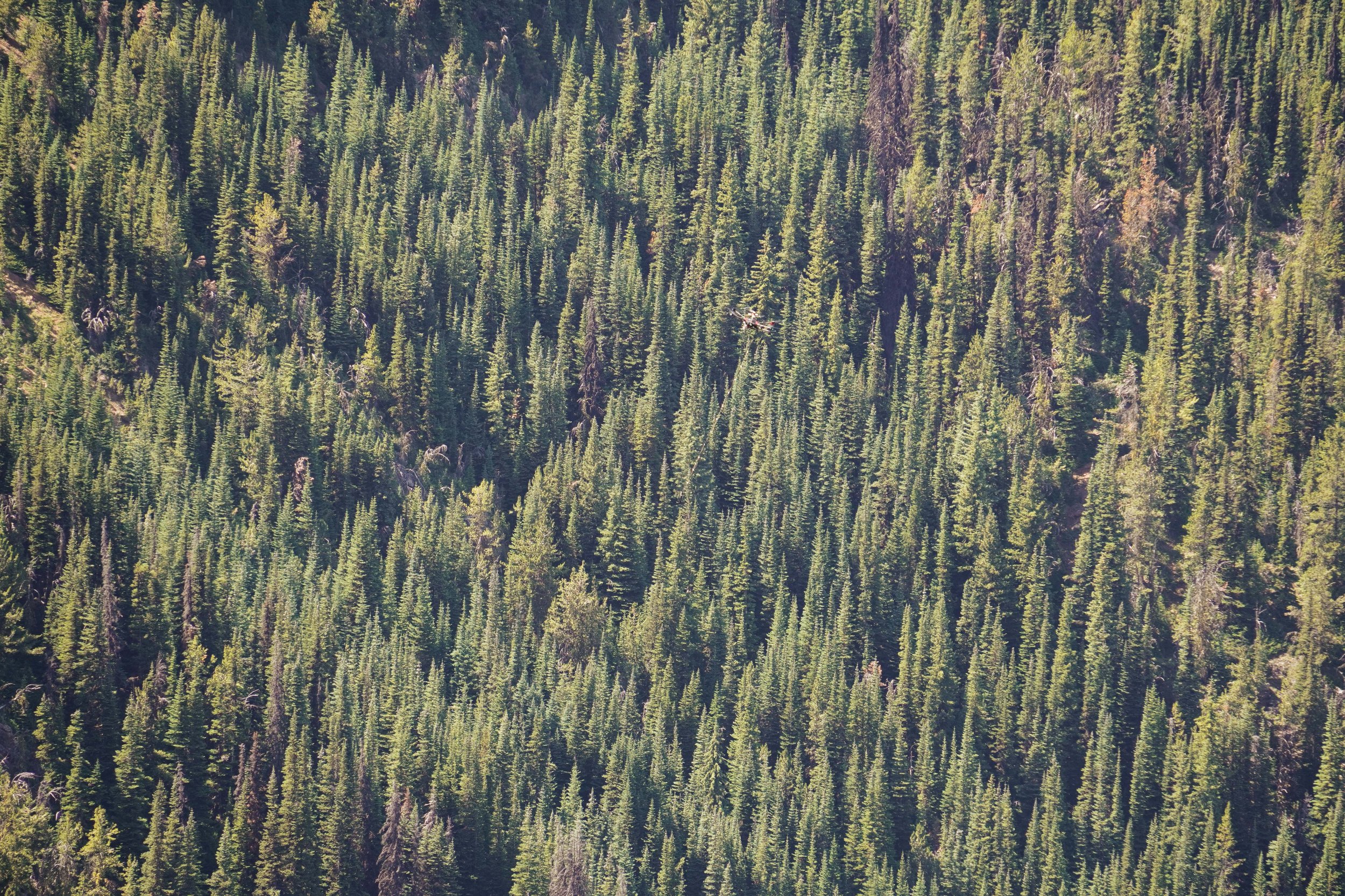
COPPER CROWN

The Copper Crown property is a silver-copper-zinc project located in the Omineca Mining Division of British Columbia, approximately 19 kilometers north of Houston. The property encompasses several significant mineralized zones, including the Ruby, Copper Crown, Lakeview, Schorn, Eureka, Rainstorm, North Lake, Hidden Treasure, and Solo showings.
Highlights
- Ruby Zone: The most extensively explored area with a historical resource estimate of 360,000 tonnes grading 0.38% copper, 4.23% zinc, and 0.88 oz/ton silver
- High-Grade Sample Results: Recent sampling has returned values up to 1,319 g/t silver, 16.3% copper, and 44.2% zinc
- Significant Previous Work: History dating back 100+ years with 1,127 meters of underground development and over 4,572 meters of diamond drilling
- Adjacent to New Discovery: The southern boundary of the property is just 1.5 km north of Quartz Mountain's Prodigy Zone, where recent drilling intersected 102m of 2.22 g/t Au and 104 g/t Ag
Geological Model & Potential Porphyry Connection
The mineralization model at Copper Crown is complex, with evidence suggesting multiple genetic processes. While classified primarily as subvolcanic Cu-Au-Ag (As-Sb) deposit type [Panteleyev, 1995], multiple geologists have hypothesized a potential relationship with deeper porphyry systems.
Church (1972) speculated that mineralization at Grouse Mountain "could emanate from a deeply buried porphyry intrusive," noting the spatial relationship between veins and various intrusive dykes. This hypothesis was echoed by Teck geologist Peter Peto (1984) who suggested that "several lines of evidence suggest that [mineralizing solutions] may be distillates of a deeply buried stock."
Coates (1978) proposed that the sulphides at Copper Crown "were remobilised due to hydrothermal activity associated with the intrusion of a suite of syenomonzonite dykes approximately 70 m.y. ago." He further suggested the "juxtaposition of the major mineralized zones at Grouse Mtn. and Sam Goosly with stocks or dykes of relatively rare syenomonzonitic composition implies that the genesis of the two deposits may be related."
Teck (Peto, 1984) observed chemical and mineralogical similarities suggesting the dykes are "consanguineously related possibly differentiates of a common syenomonzonite-gabbro magma of the Goosly type." They hypothesized that "a significant tonnage of low grade Cu-Zn-Ag mineralization occurs in at least 5 cogenetic structures" that are "likely peripheral to an underlying mineralized intrusion at depth in the SW portion of the claims."
The mineralization consists of discordant quartz-carbonate veins and fracture fillings hosting pyrite, sphalerite, chalcopyrite, and minor galena. These are generally confined to fault zones in discontinuous lenses and pods up to 1.5m in width, with broader zones appearing where mineralized faults transition from the relatively impermeable Smithers Formation into the more porous Telkwa Formation pyroclastics [Peto, 1985].
Strategic Location
- Well-established infrastructure with highway access, nearby rail line, and proximity to communities
- Positioned in the same mineral belt as the Lone Pine Porphyry Molybdenum Deposit
- The Ruby Zone sits 3.5 km north of Quartz Mountain's active drilling at the Prodigy Zone
Exploration Potential & Equity Silver Mine Comparison
- Several geophysical anomalies identified through IP and drone magnetic surveys await testing
- Geological setting shares similarities with the past-producing Equity Silver Mine, which is associated with intrusive rocks of the Goosly Intrusions
- Church (2007) identified a "poorly defined mineralized dyke or fault system" in IP data trending north of the Copper Crown Zone
- Peto (1985), as part of Teck Corporation's exploration program, observed that "mineralized faults, which comprise the Rainstorm Zone, widen abruptly from about 0.5-1 metres in the Smithers Formation to 10 to 20 metres in the underlying Telkwa Formation"
- Coates (1978) noted similarities between Copper Crown and the Sam Goosly deposit (Equity Silver Mine), suggesting they may share genetic relationships through "syenomonzonitic" intrusions
- Multiple mineralized structures remain open along strike and at depth
- Potential for both high-grade vein systems and bulk tonnage porphyry-related mineralization at depth
References
Borovic, I. (1981). A Report on the Results of the 1980 Reconnaissance Geology and Geophysical Survey on the Grouse Mountain Copperhill Property. BC Geological Survey Assessment Report #9087.
Church, B.N. (1972). Geology of the Grouse Mountain Area, Omineca Mining Division in Geology Exploration and Mining in British Columbia 1972, pp. 397-417.
Church, C. (2007). Geophysical Survey Report on the Grouse Mountain Property. BC Geological Survey Assessment Report #29505.
Coates, J.H. (1978). Mineral Occurrences in the Jurassic Rocks of the Smithers-Houston Area, British Columbia. Imperial College of Science and Technology, London.
Panteleyev, A. (1995). Subvolcanic Cu-Au-Ag (As-Sb) deposit type mineralization description.
Peto, P. (1984). Grouse Mountain Property: Report on Geological, Geophysical and Geochemical Surveys. BC Geological Survey Assessment Report #14256A.
Peto, P. (1985). Geochemical, Geophysical and Diamond Drilling Report on the Grouse Mountain Cu-Zn-Ag Property. BC Geological Survey Assessment Report #14256B.
Vancouver Petrographics Ltd. (1984). Report on Teck samples from Copper Crown. In: Peto, P. Geological, Geophysical and Geochemical Report on the Grouse Mountain Property.
Click any button above to download reports and information about Copper Crown
Copper Crown Project Video
Reports
-

Copper Crown Assessment Report - 2024
-

Copper Crown Assessment Report - 2022
